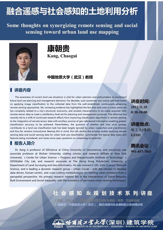
报告人:康朝贵
Dr. Kang is professor of GIScience at China University of Geosciences, and previously was associate professor at Wuhan University, visiting scholar and research affiliate at New York University’s Center for Urban Science + Progress and Massachusetts Institute of Technology’s SENSEable City Lab, and research associate at The Hong Kong Polytechnic University’s Department of Land Surveying and Geo-Informatics. He was trained in GIS, Data Science, Network Science, and is leading a dynamic research group – Urban CoLab – with the mission to develop data-driven, human-centric, and cross-cutting methodologies for tackling urban problems from a geospatial perspective. His primary research interest lies in the intersections of Travel Behavior, Built Environment and Social Inequality with the assistance of pervasive urban sensing techniques.
讲座内容
The awareness of current land use situations is vital for urban planners and policymakers to implement future land use planning and management decisions. For decades, such awareness was mainly achieved based on applying image classification to the collected data from the well-established, continuously-advancing remote sensing approaches. Yet, increasing evidence has highlighted the fact that land uses in urban areas are too complexly related to a city's structural, economic, and societal characteristics to be solely acquired from remote sensor data to meet a satisfactory level set for planning and management purposes. This dilemma has recently led to a shift of continued research efforts from improving classification algorithms in remote sensing to the integration of remote sensor data with ancillary sources of geo-referenced information enabling greater classification accuracy to be achieved. Nevertheless, the question of whether and how such synergy contributes to a land use classification task has been largely ignored by urban researchers and practitioners and thus far remains inconclusive. Bearing this in mind, this talk revisits the existing studies applying remote sensing data and social sensing data for urban land use classification, summarizes the typical data types and features being considered, and raises some open questions on unleashing its potential.
讲座时间及地点
时间:2022年11月10日 8:30-10:00
地点:G1101
(审核:马航)
